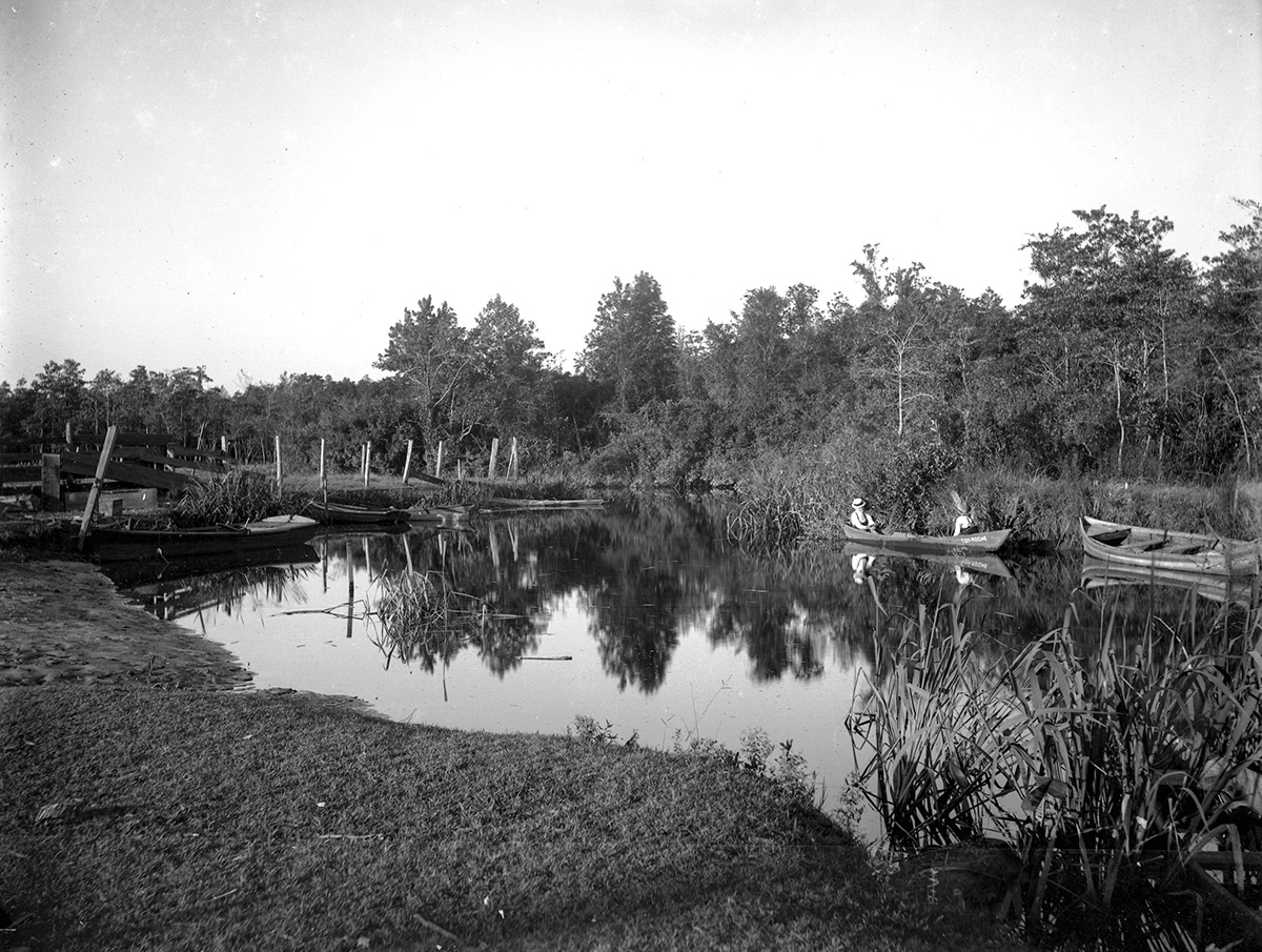
Water, water everywhere but not a drop to drink. At least not from the creek these days. But long before it received the Alabama Department of Environmental Management’s lowest use-designation, Three Mile Creek was an important source of water. (Nowadays, it’s only recommended for agricultural and industrial use.) Records indicate that this winding, 14-mile body of water was originally called “Bayou Chateauguay,” so named in the early 1700s by Frenchman Antoine Le Moyne de Chateauguay, the younger brother of Iberville and Bienville. The moniker didn’t last long, however, as British army surgeon John Lorimer called it “Three Mile Creek” during his assessment of Mobile’s water supply in 1770. Through the decades, urbanization along the creek’s bank as well as the city’s growth led to poor water quality and insufficient supply. In 1952, the 3,600-acre Big Creek Lake located in West Mobile became the principal source of Mobile’s drinking water. Since 2014, plans have been in place to improve Three Mile Creek’s quality and transform it into a waterway destination.
Did you know?
Holy Waters
The Magazine Point neighborhood in Africatown has a spiritual connection to Three Mile Creek, according to preservationist Joe Womack: It’s where the passengers of the last known slave ship, Clotilda, were baptized.
Jackson’s Crossing
General Andrew Jackson, on his way to the Battle of New Orleans, crossed Three Mile Creek on foot, November 23, 1814, at about 5 a.m.
Deadly Flood
In April 1980, after three days of heavy rainfall, Three Mile Creek rose quickly and flooded homes, cars and roads, which led to the drowning of a couple swept off their motorcycle. In an effort to prevent future tragedy, a creek-widening project was completed, to the tune of $29.6 million.
Ancient Floor
A 2004 study conducted by the Alabama Department of Environmental Management revealed that the swampy central portion of Three Mile Creek’s subwatershed is underlain with deposits from the Holocene and late-Pleisocene ages — roughly 12,000 years ago.
Fuzzy Math
Though it’s called “Three Mile Creek,” the waterway actually spans 14 miles. So, where did “Three Miles” come from? It begins 3 miles north of the mouth of Mobile River (near where the Bankhead Tunnel crosses).
Three Mile Creek By the Numbers
6: Number of principal tributaries that feed Three Mile Creek: Twelve Mile Creek, Toulmin Springs Branch, One Mile Creek, Industrial Canal, the Central Northern Tributary and an unnamed tributary adjacent to the Mobile Infirmary.
19k: Acres the Three Mile Creek watershed covers in the cities of Mobile and Prichard — that’s equal to 30 square miles.
50 cents: Cost per barrel of water hauled from Three Mile Creek in the mid-19th century — most residents collected rainwater.


